Tropical Storms Melissa Increase and Danger
1. A tropical storm Melissa What’s going on?
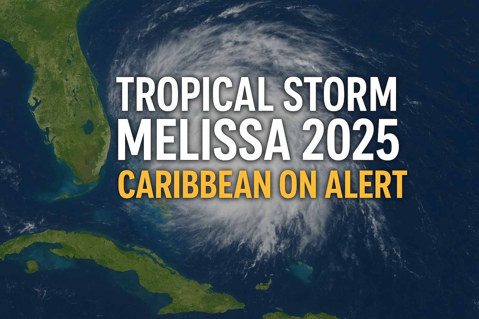
A tropical storm Melissa, the thirteenth named storm of the 2025 Atlantic hurricane season, has formally formed in the Caribbean Sea.
With maximum sustained winds of 50 mph (80 kph), Melissa is currently travelling west at about 14 mph (23 kph) and is about 300 miles (≈480 km) south of Port-au-Prince, the capital of Haiti.
The southern Haitian peninsula, which borders the Dominican Republic up to Port-au-Prince, is under a hurricane watch, while Jamaica is under a tropical storm watch, according to forecasters with the National Hurricane Centre (NHC) and other meteorological organisations.


The significance of Tropical Storm Melissa
The warm Caribbean waters still encourage development, even though it formed relatively late in the season, when storms usually start to lose steam.
It is moving in the direction of vulnerable, heavily populated Caribbean islands, including Cuba, Haiti, Jamaica, and the Dominican Republic.
Forecasts predict that Haiti and the Dominican Republic will receive 5 to 10 inches (13 to 25 cm) of rain by Friday, while Aruba, Puerto Rico, and Jamaica will receive smaller amounts (1 to 3 inches or 2.5 to 8 cm).
Even though it seems unlikely that the US mainland will be directly affected, the storm’s indirect effects—such as rip currents, rain bands, and swells—could still be significant, particularly in coastal regions.


Tropical storm Melissa’s projected path and intensity
In the central Caribbean, the storm is predicted to stall or slow down, increasing the possibility of more intense rainfall in a particular region.
There are two main track scenarios at play:
- Melissa could head northeast towards the Dominican Republic and Haiti;
- Alternatively, it might keep moving west, possibly reaching Jamaica and Cuba or Central America. The precise course is still unknown.
Although the storm’s current winds are 50 mph, favourable conditions and warm sea surface temperatures (86 to 90 °F/~30 to 32 °C) indicate that it may intensify further.
What are the primary dangers? Tropical Storm Melissa
Mudslides and flooding: Flash flooding and landslides are more likely to occur when heavy rain falls on mountainous areas, like Haiti and the Dominican Republic.
Damage from wind: Gusts and tree damage in susceptible areas are possible due to sustained winds of approximately 50 mph and the possibility of strengthening.
Rip currents and storm surges: Even if the storm doesn’t reach land, beaches and coastal communities may occasionally be subject to hazardous surf and rip currents.
Indirect effects on the United States: Although there is currently no chance of direct U.S. landfall, states like Florida or the Gulf may experience rip currents or outer rain bands, so people shouldn’t completely disregard the storm.
What to look out for in the upcoming tropical storm Melissa
Watch and warning updates: Watch the local weather services and NHC for any changes to the advisories.
Monitor modifications: Which areas become threatened can be significantly impacted by a small change in speed or direction.
Totals of rainfall: Rainfall accumulations could exceed current projections if Melissa stalls, increasing the risk of flooding.
Changes in intensity: Melissa might intensify into a hurricane-level system if favourable conditions hold, which would change the threat profile.


Why it’s worthwhile to follow Tropical Storm Melissa
Melissa and other late-season storms are frequently less well-known than summer peaks, but they can still be quite powerful, particularly in areas that are already at risk. The stakes are high because Melissa is forming on islands with little infrastructure and when sea temperatures are still high. Additionally, it is worth observing how storms behave in the latter part of the season as global ocean and climate patterns change.